Explore Advanced Drones for Precision Mapping
Surveying and mapping have taken a big step forward, all thanks to drones. These flying machines are changing the game compared to old-school, ground-based surveying that needed a lot of people and equipment. Drones for mapping, or unmanned aerial vehicles, are taking over because they’re faster, more accurate, and can go places that are hard for people to reach.
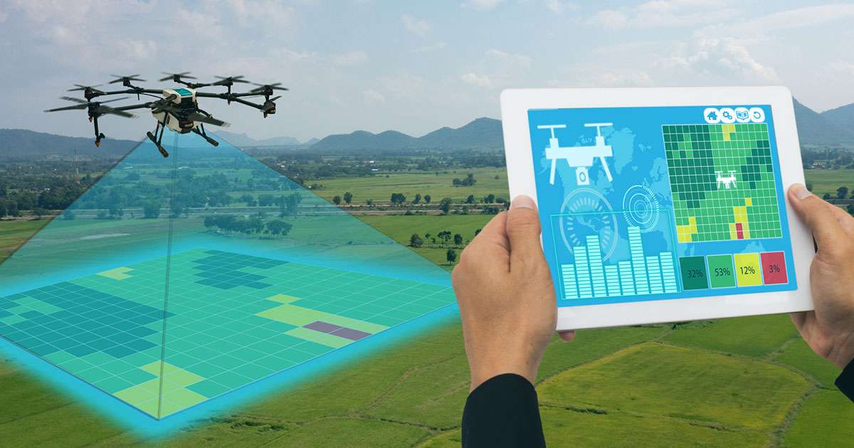
But not all drones are the same. Some drones are better at surveying and mapping because they have special features. These features include:
- Super-clear cameras: Drones need high-resolution sensors to take really detailed pictures.
- Long-lasting batteries: Good drones can fly for a long time without needing a recharge.
- Smart navigation systems: Drones should be really good at knowing where they are to collect the right data.
- Strong and tough build: Drones should be tough so they can work well in all kinds of weather.
And the best surveying drones let you change what they carry. This means you can customize them for the job you’re doing.
The Best Drone Brands for Surveying and Mapping
Drones are versatile tools for various surveys, including topographic, photogrammetric, construction site, agricultural, and environmental surveys. The survey process requires careful planning, involving selecting the survey area, checking the weather, conducting site surveys and hazard assessments, verifying exclusion zones, and ensuring equipment functionality. The flight is usually automated, with the drone following a predetermined path and capturing data. After the flight, the data is transferred to a computer for processing using specialized surveying software. Now, let’s explore the best drones designed for mapping and surveying.
DJI Phantom 4 RTK
For folks new to drone surveys, the DJI Phantom 4 has always been a popular pick as one of the best RTK drones. The newest RTK version is particularly impressive. It comes with a 1-inch CMOS sensor for really good pictures and can stay in the air for 30 minutes. The RTK module on top of the drone, combined with the D-RTK 2 ground station, helps gather super precise spatial data down to the centimeter. The only drawback is you can’t change the stuff it carries around.
Autel EVO II Pro RTK V3
The Autel EVO II Pro RTK V3 is an excellent choice for both professional surveyors and hobbyist drone pilots. Despite being packed with advanced features, it’s lightweight at just 1.3 kg. With a flight time of 38 minutes and an 8-level wind resistance feature, it’s durable in different weather conditions. Autel’s RTK module ensures centimeter-level accuracy and supports various precision methods like base station RTK, network RTK, and Post-Processed Kinematic (PPK).
AgEagles eBee X
The AgEagle eBee X, previously known as senseFly, is a fixed-wing drone made for commercial surveying and mapping. It can fly for up to 90 minutes on one battery and works with various payloads, like the SODA 3D mapping camera and the Parrot Sequoia multispectral sensor. The eBee X supports both PPK and RTK workflows, guaranteeing top-notch surveying data.
WingtraOne GEN II
The WingtraOne GEN II is a top-tier fixed-wing drone created for handling extensive surveying projects. Produced by Wingtra, a company specializing in mapping and surveying drone technology, it stands out as one of the best drones for surveying available. With a flight time of 59 minutes and built-in post-processed kinematic technology, it ensures accurate data collection. Despite being a fixed-wing drone, it can vertically take off and land, streamlining deployment and protecting its payloads. Additionally, it has an IP54 rating, making it resistant to water and suitable for challenging conditions.
DJI Matrice 350 RTK
The DJI Matrice 350 RTK is a strong commercial drone that can handle three payloads at once, each weighing up to six pounds. It can fly for an impressive 55 minutes and reach speeds of 51.5 mph. The RTK module ensures precise data collection, accurate within 3 centimetres, without requiring ground control points. You can also swap out payloads, giving you the freedom to customize your data collection.
DJI Mavic 3 Enterprise
The DJI Mavic 3 Enterprise is an upgraded choice for professional surveyors and drone pilots compared to the Phantom 4, offering advanced features. Its mechanical shutter prevents blurry images, a common issue with other drone models using rolling shutters. With a large Micro 4/3” sensor, this drone performs well in low-light conditions. It boasts a 45-minute flight time, allowing for extended and detailed surveying.
Optimize Mapping and Surveying with the Best and Most Innovative Drones
Unlock the future of surveying and mapping with cutting-edge drones! Experience a paradigm shift from traditional methods to faster, more accurate, and versatile aerial solutions. Discover drones equipped with high-resolution sensors, extended flight times, smart navigation systems, and robust builds for unparalleled performance in diverse conditions. Tailor your surveying experience by exploring drones that allow swappable payloads. Dive into the world of topographic, photogrammetric, construction site, agricultural, and environmental surveys with automated flights and specialized software for seamless data processing.